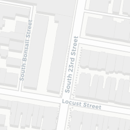
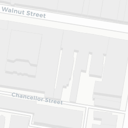
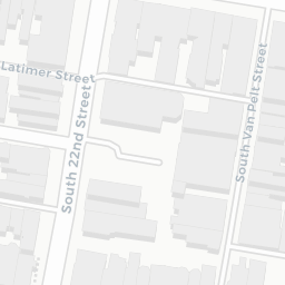
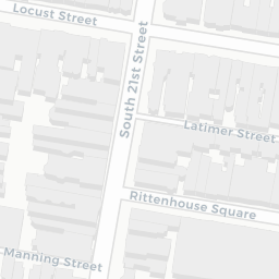


This map changes the display and information for each parcel based on data in a Google Drive spreadsheet. The spreadsheet is linked to a geographic parcel file using SQL and CartoDB's table-syncing ability.
Maps like these are completely customizable, and the basemap (background) can be changed to show satellite imagery, terrain, or a custom basemap.